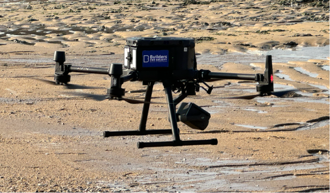
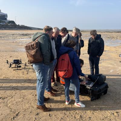
During our FIER partner meeting in Caen, our host Builders, demonstrated the potential use of a drone for flood monitoring and rescue activities.

Lifesaving drones
The drone can be equipped with a powerful thermal imaging camera (8x numerical zoom for thermal, 23x optical zoom and 200x digital zoom for camera), and an innovative LiDAR camera could also be mounted. In the air, the drone can transmit highly detailed images, providing a situational overview from up to nearly 8 kilometers away (if allowed by aerial regulations). Through a common data platform, crisis and rescue teams can observe the images and take action or request the operator to reposition the drone if needed for more overviews.
Thermal imaging
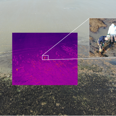
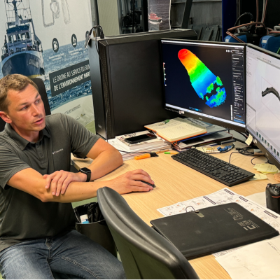
In flood situations, the thermal imaging camera can help to identify potential flood victims. When LiDAR, a strong laser scanner, is mounted, the sensor can penetrate tree canopy, producing a 3D image of the ground surface and identify areas prone to flooding. It can also detect cracks and weak spots in dikes.
Yoann from Builders demonstrated the drone’s capabilities by scanning the shoreline, tracking the waterfront, and identifying individuals. On this occasion, people collecting shells along the shoreline located at a distance from 300 to 500m.


