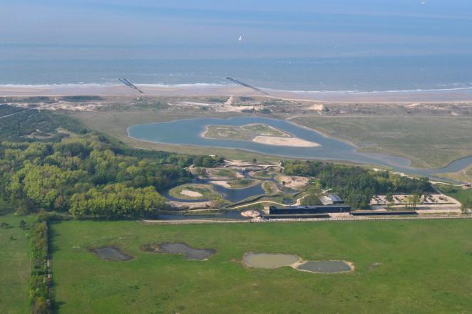
About the area
Flood risks in this area
The province of West-Flanders has multiple flood risks. We are susceptible to fluvial, pluvial and coastal flooding, and have unfortunately been impacted before. We had the big ‘Storm Xaver’ (Sinterklaasstorm) in 2013 with storm surges reaching dangerous heights, and we had to take pre-emptive evacuation measures. Very recently, in November of 2023, we also had the flooding of the Yser valley, with an impact on multiple municipalities.
Contribution of the FIER project to this area
The FIER Project will give us more tools to tackle floods decisively. Especially by increasing our capabilities to share flood data with our neighboring countries, and in doing so we’ll get a common image about the flooded zones (water doesn’t stop at the borders!). In turn that will increase our performance to respond adequately when such flood crises occur.
©database provincie West-Vlaanderen
