Pilot site overview
The site comprises 350 hectares of municipality-owned farmland which will be converted into natural spaces and form a circular green ring that links two protected nature areas (Natura 2000) with nearby forests and other natural areas, while adding new and improved walking paths for people
Pre-implementation challenges in pilot site
- Years of farmland cultivation has resulted in low levels of local animal and plant life, low levels of groundwater and high levels of water pollution and CO2
- There are limited opportunities for the public to access and enjoy the landscape due to a lack of paths and poor connections between the separate areas of farmland that form the pilot site
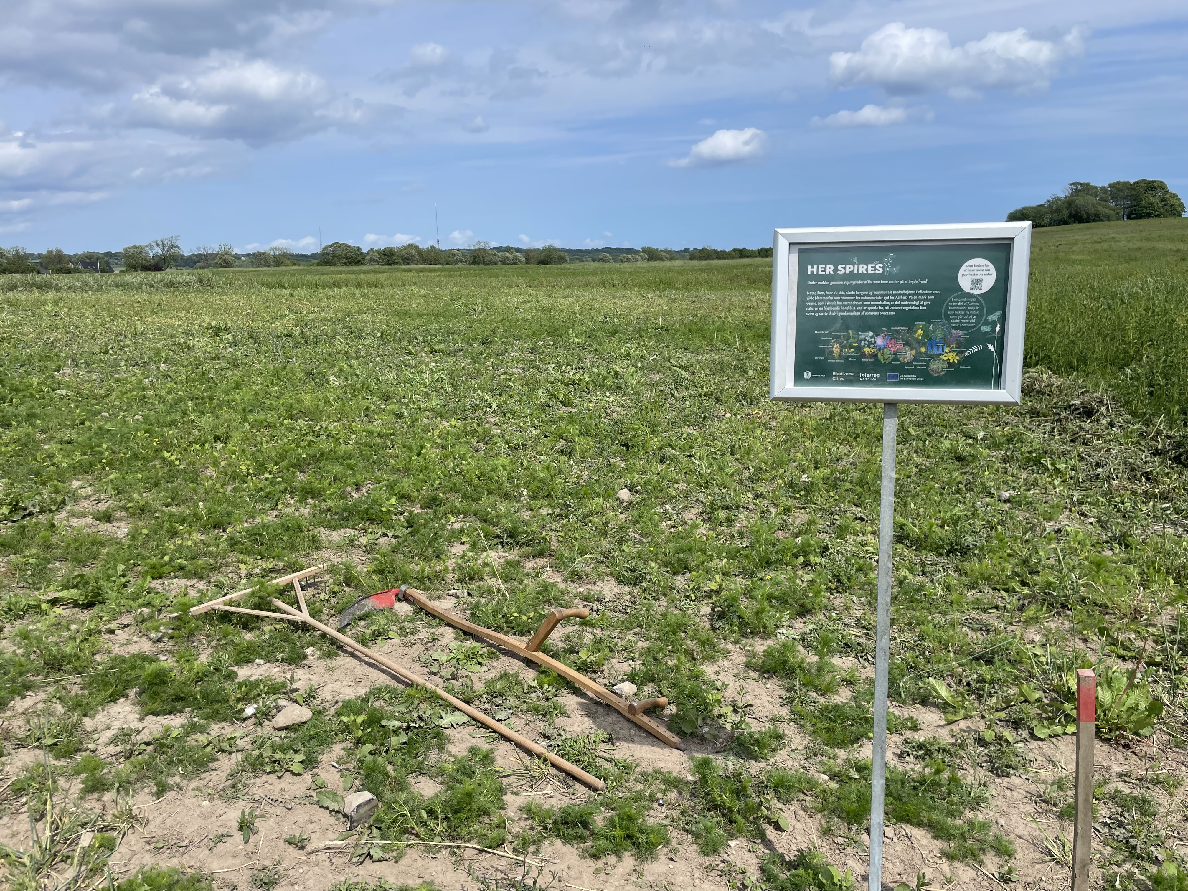
Interventions planned
- Stop farming activities to allow the land to recover
- Restore natural water systems such as streams, surface water, and wetlands
- Reintroduce native wild plants from nearby healthy ecosystems
- Create fenced zones and introduce large grazers to support natural, year-round ecological processes
- Create new and better public paths so people can walk, cycle and enjoy the landscape
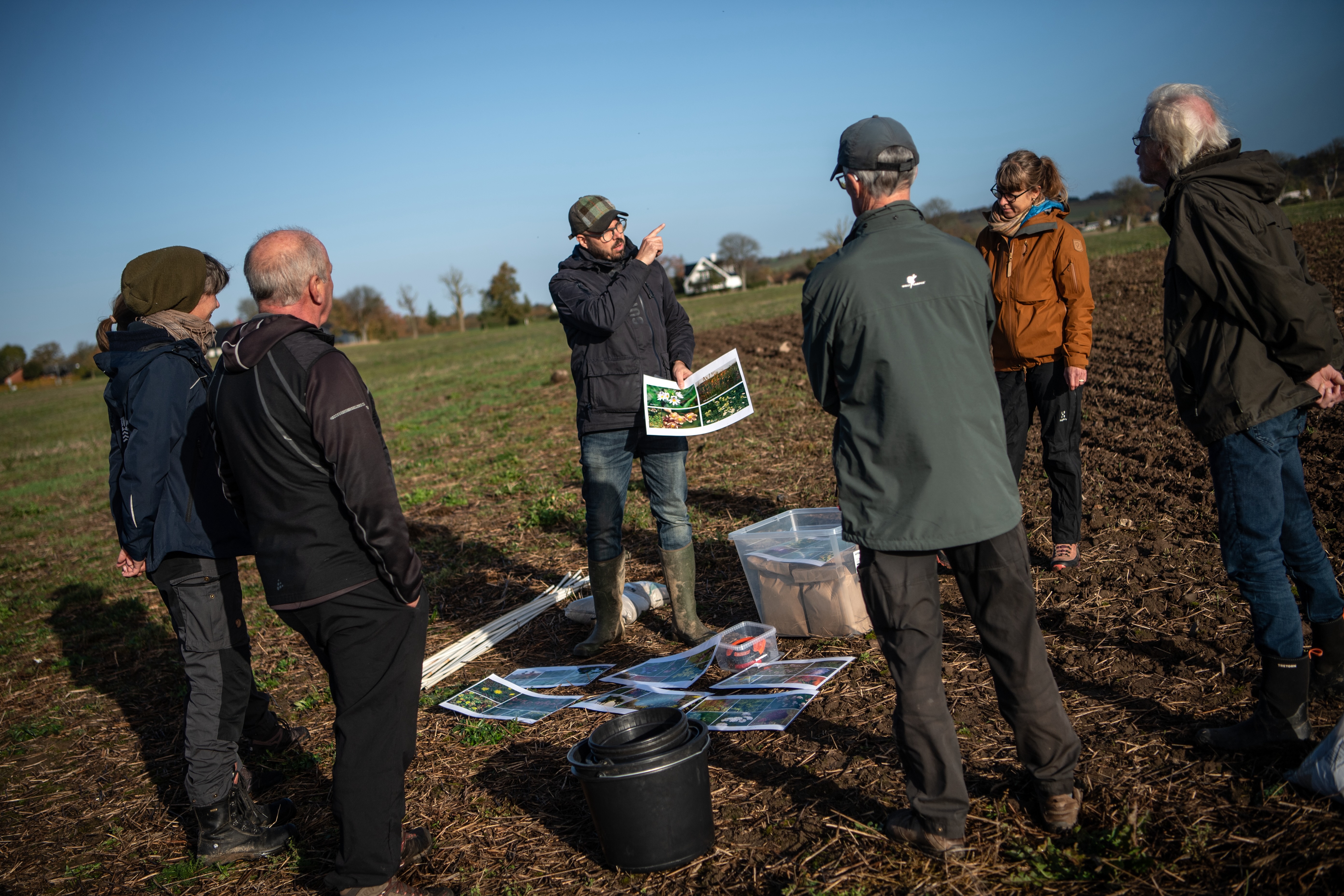
Photo credit: Municipality of Aarhus
Expected impact
Rewilding this area will create a richer, more connected landscape for wildlife and people alike. Restored ponds, wetlands and green corridors will support species such as the tree frog and crested newt, while the expanded natural areas will strengthen overall biodiversity and the health of local ecosystems, and provide people with more opportunities for outdoor recreation activities. It will also support the climate goals set out in Aarhus Municipality’s Climate Plan 2021–2024.