PROVINCE OF ANTWERP
Concerning cycling infrastructure, the Province of Antwerp features a comprehensive supralocal functional cycling network alongside a dedicated recreational cycling network. Collaborative effoers between the regional governments and local municipalities are constant to uphold and enhance this high-quality network.
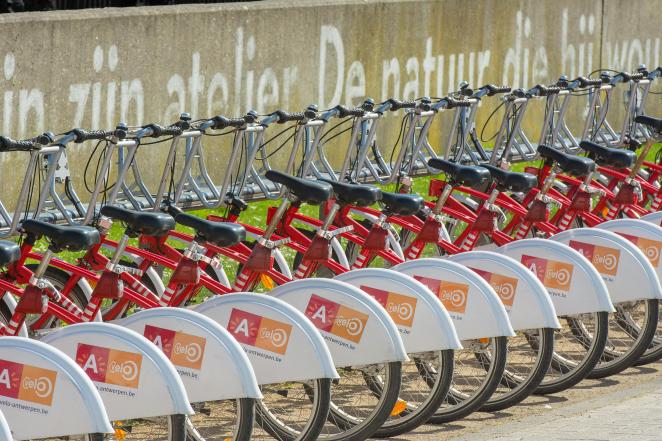
The province has an encouraging transport modal split, as of 2020 24.7% of its citizens citie bicycles as their primary mode of transportation, 15.9% opt for public transport and 54.1% continue to rely on cars. To increase the percentage of the population using bicycles as their primary mode of transport, the Province of Antwerp has decided to participate in the MegaBITS project. Within this initiative, the province is carrying out a flagship project with four pilot projects, detailed below.
F106: A Digital Citizen Participation Platform
The primary goal of the first pilot the Province of Antwerp will develop within the MegaBITS project is to increase awareness of the existence of the F106 (cycle highway) and specially among the municipalities where the highway is located though a digital participative platform. The goal is to differentiate per target group and to approach them in different phases of the process of upgrading the cycle highway.
Citizens will be surveyed about obstacles, traffic safety issues, origin and destination of their daily commute, traffic mode, their demographic characteristics (age, gender, etc). There are several benefits of projects such interacting in a transparent way with citizens with hope to create more support for cycle friendly solutions. At the same time, the collected data can be used by the province to measure this support and provide engineering companies with relevant information on existing comfort, speed, obstacles, safety.
With the construction and constant upgrade of the cycle highway facilities, the province will involve citizens by organising local information fairs/markets where they can contribute with post-its on a large, printed map and by direct communication with civil servants/engineers.
The Province of Antwerp has also already started this with the use of tools such as ArcGIS interactive, allowing for online interaction with citizens. This online communication format allows that other target groups also can be involved, since it does not limit citizens to a specific place or time. As well as a more personalised exchange of information and feedback to the citizens.The toll will also be designed in a way that existing datasets (FBD, Accidents, registered obstacles) and the poll results can provide a deeper insight on cyclists' experience, mode of mobility, purpose of travel (commute, leisure). The comparison of both surveys and pre-existing or new datasets will allow for data-driven policy decision making and feedback to the surveys.
For each phase of design process of the cycle highway F106 there will be an opportunity to interact with the citizens along the trajectory/neighbourhood on collecting obstacles along the trajectory or to select a preferred design or to evaluate the final results. Each phase will have to be evaluated internally to learn and adapt to the next phase.
Evaluation and Use of Floating Bike Data In the Province of Antwerp
The Secondary Flagship of the Province of Antwerpen consists of researching the value of existing tracking data for cyclists (such as Strava, Garmin, Komoot, or more general GPS tracking data etc), commonly known as Floating Bike Data (FDB), collected by bicycle-fixed (shared bikes, sensors on bicycles, lights, fixed GoPro and gyroscope) and cyclist-fixed devices (Go-Pro on helmet, smartwatch, smartphone).
The researchers at the province of Antwerp aim to investigate how this data can be aggregated, ensuring compliance with the European Union General Data Protection Regulation. Simultaneously, they seek to establish a database serving as a resource for specific traffic-related inquiries. These inquiries may cover aspects such as origin and destination, speed, obstacles, sudden stops, intensities, and other relevant variables.
Currently, Floating Bike Data lacks a standardised and systematic application. Therefore, the establishment of a database within the MegaBITS consortium, would allow to facilitate the formulation of uniform guidelines for collecting and processing FBD data. This initiative aims to transform FBD into a valuable resource by defining consistent methodologies. Subsequently, data gathered encompassing speed, stops, intensities, obstacles, and heatmaps would be integrated into existing tools like the Fietsbarometer, providing them with an additional layer of cycling traffic details,
Use Cases of Data Fusion
By integrating and analysing existing data along with datasets envisioned during the MegaBITS project, this flagship initiative has multiple objectives, including the establishment of a standardized data format for assessing the quality of cycle infrastructure. It also aims to create maps of both new and existing data sources, aligning with upcoming European legislation. This will provide the province of Antwerp previously invisible and useful insights on cycle path capacity, the robustness of different types of surveys and their complementary function (time, investment, accuracy).
Variables such as the correlation of accidents before and after the updating of cycling infrastructure or the relationship between cycle lane width and cycle intensities are among two exercises that can be done to evaluate the quality, safety, comfort of cyclists. An understanding of this data would also be useful for policymakers at the local, national and European level as it can demonstrate whether investments in cycling infrastructure and improvement or such can lead to increased cycling. This, in turn, may encourage other regions and cities to invest in cycling to meet the targets outlined in the EU Green Deal.
Mobility Potential Tool
In the latest Flagship initiative, the Province of Antwerp aims to integrate data gathered from the aforementioned sources into a mobility tool. This tool will be utilized to assess prospective changes to the cycling network, considering factors such as traffic flows, intensities, and ODM. The objective is to develop a comprehensive cyclist traffic aggregation tool that is well-suited for predicting alterations in traffic patterns. This is particularly valuable when preparing for construction work done by the municipality. The tool can answer questions like how traffic will be affected when a road is blocked, or how citizens can navigate to work on bicycles if their usual route is closed due to construction.
Furthermore, this tool holds utility for policy purposes, as it can assist in determining potential measures based on estimated traffic flows and their impacts. Bicycle counters strategically positioned around the city will play a crucial role in evaluating the success of initiatives and measuring the rise in cyclists resulting from the implementation of new regulations.