
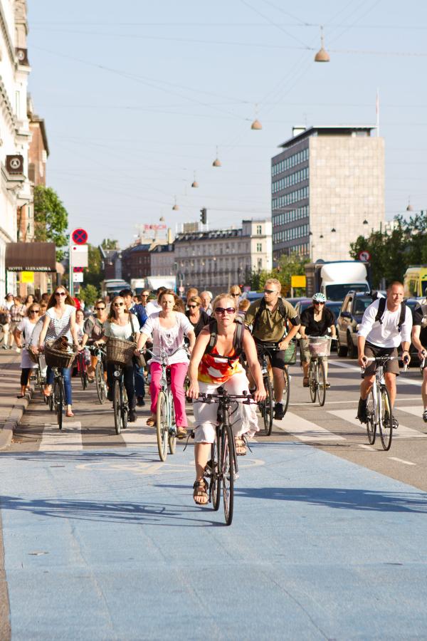
Cycling in the City of Copenhagen
To gather cycling data, the City of Copenhagen has traditionally relied on manual collection, though efforts to digitize have already been initiated, with counting equipment currently installed. Within MegaBITS, the City of Copenhagen aims to enhance its cycling Intelligent Transportation Systems (ITS) and digital infrastructure. This initiative seeks to improve traffic management and elevate the overall cycling experience through the implementation of four pilot projects, detailed below.
Floating Bike Data
The primary pilot project consists of developing and gaining Floating Bike Data (FBD) for Copenhagen. This is crucial because, at present, Copenhagen lacks bike-related data, and the FBD would establish the foundation for a new administrative traffic management plan in the city.
The information collected through the establishment of a Floating Bike Data project has the potential to be integrated into traffic management tools. This integration would facilitate the measurement of several variables, including average travel time of cycling journeys, the number of stops in specific corridors, average cyclist speeds or identification of congested areas. Subsequently, this data could be made available to policymakers to improve its cycling legislation, infrastructure, and service goals outlined in the traffic management plan.
To assess the project’s success in promoting cycling in Copenhagen, several benchmarking measurements will be strategically placed in multiple corridors. These will measure whether FBD has contributed to improvements in average travel time and a reduction in the average number of stops, with the assistance of counting stations.
Service Goals and Traffic Management Plan
The City of Copenhagen seeks the approval of the traffic management plan, allowing for the creating of traffic management policies and having them politically approved. This plan will encompass service goals for cyclists, such as reduction of travel time and number of stops while exploring the prioritization of cyclists over other road users during rush hours.
The Danish Capital also plans to revive the bike simulation program (BikesIm), which can be used to understand how cyclists will interact with traffic lights, such as the frequency of stops at red lights, and the average travel time along a corridor. It's important to note that this simulation is distinct from floating bike data, which contains information about actual travel time, considering factors like congestion, road works, and road conditions (such as snow).
Improved IT-Setup and IT-Back-End Integration in Traffic Management Systems
The third implementation consists of developing IT-Back-end integration of cyclist data into the Copenhagen Traffic Management System, aiming to enhance the IT infrastructure for data storage and utilisation.
This will be a significant step forward, considering the lack of Floating Bike Data and its integration into the management system at present. The incorporation of accurate data and a proper set up will provide the city with a comprehensive understanding of the bicycling landscape. This will result in informed policymaking, ensuring a strategic approach that promotes cycling by optimizing the efficiency and convenience of cyclists' commutes, moving a step closer to the ultimate goal a modal shift toward active transport.
Variable Message Signs
The last implementation will consist of improving traffic management plans by deploying and making more effective use of variable message signs (VMS) to convey information.
Therefore, the city will focus on creating a strategy to optimise the use of VMS signs. Currently, the use of VMS signs lacks standardisation, and signs is placed when needed. Hence, there is a need for a strategy that takes into account cycling routes, particularly in scenarios where events may disrupt regularly used roads, such as planned activities (events), unforeseen events (road closures, accidents), rush hours, automatic display changes during school holidays, and similar situations.
In such instances, alternative routes are not always labelled, and the strategy will aim to ratify this in order to enhance the rider’s experience. Such signs can also be used to communicate safety measures helping to save lives.